Accuracy Assessment of ASTER and SRTM DEMs: A Case Study in Andean Patagonia
- Díaz, Gastón Mauro; , ; Lencinas, José Daniel; Siebert, Antje
- Abstract:
- The ASTER global digital elevation model (GDEM) and the SRTM-C digital elevation model (DEM) provide nearly global coverage, with spatial resolutions of 30 and 90 m, respectively. We assessed the geolocation, elevation, and morphological accuracy of the SRTM-C, the ASTER GDEM, and two single-scene DEMs derived from ASTER data for a site in Patagonia (ASTER DEMs). We found systematic and widely dispersed geolocation errors for the SRTM-C (Linear RMSE = 85.0 m) and the ASTER GDEM (Linear RMSE = 101.1 m). The SRTM-C had a narrow elevation error distribution (RMSE 8.3 ± 2.9 m), whereas the ASTER GDEM had a smaller RMSE (9.4 ± 2.3 m) than the analyzed ASTER DEMs. The ASTER DEMs provided more detailed morphological information than the SRTM-C, but also had more noise.
- Áreas de investigación:
- Año:
- 2012
- Tipo de publicación:
- Artículo
Hits: 11002
Noticias relacionadas

Proyecto de CIEFAP, seleccionado por la Fundación Williams
El proyecto "Hacia una Infraestructura de Datos Espaciales (IDE) para el Apoyo a las Actividades Científicas y Tecnológicas: Consolidación de un Nodo-IDE para el Estudio de los Bosques Andino Patagóni...
Leer más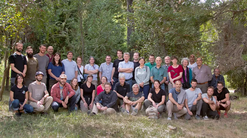
Argentina y Alemania trabajan articuladamente en el manejo sostenible de bosques frente al cambio climático
Funcionarios de la Embajada de Alemania mostraron gran interés en el desarrollo del proyecto.
...
Leer más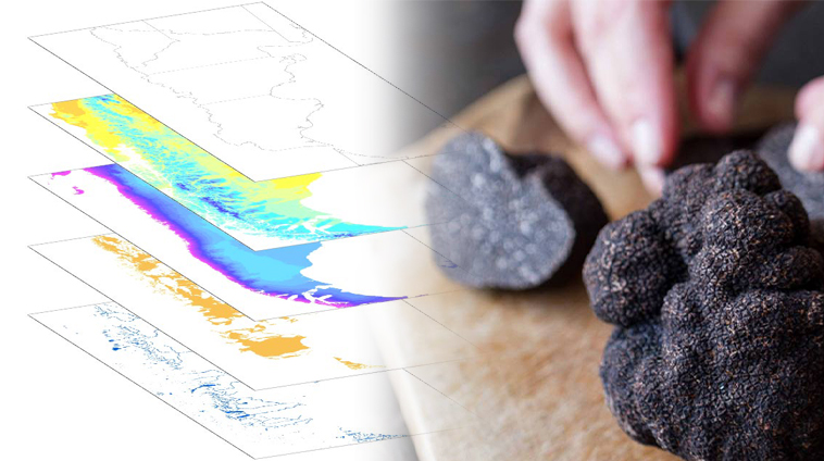
Presentación de los resultados finales del mapa para el cultivo de trufa negra
Se trata de la presentación del mapa de aptitud para el cultivo de trufa negra en Chubut.
...
Leer más
“Información para diseñar el futuro”. Un Estado Nacional presente
El Intendente de El Hoyo, Pol Huisman, valoró la información digital de alta definición puesta a disposición del Municipio. Los datos permiten caracterizar las condiciones del terreno en la zona de la...
Leer más

Exitoso Taller Binacional sobre uso de Drones en el Sector Forestal
Durante los días 5 y 6 de octubre se realizó en Valdivia, Chile, el “II Taller Binacional: utilización de VANT para monitoreo de recursos y desastres naturales”. Más de 200 asistentes, entre los que s...
Leer más